It was an early start this morning — 6:23 on the road. I checked the weather forecast last night and I had an early window with no rain, 50% at 10am, and 100% at 11am. I figured it would take me about 3 1/2 hours to get from Clearfield to State College so I had to get it going. I’m laughing as I type that. Ideally, it would be 3.5 hours, but that’s without wrong turns and stops that I typically have to deal with. (As it turns out, it was 3.5 hours of riding time today and 4 hours elapsed time.)
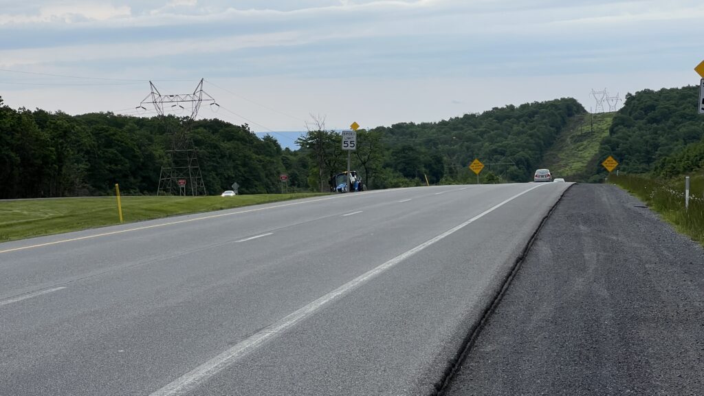
Just like yesterday, I had a lot of climbing to start the day and the picture above is when I thought I must be at the top. I was. The next 4 miles were straight downhill. I stopped there to put on my jacket in anticipation of some faster speeds chilling me. Faster speeds indeed — I reached 40 mph pretty quickly. I realized today I’m a scaredy-cat. I had to use the brakes to slow it down. I love going fast, but without breaking, I probably would have approached 60 mph. That’s too much for me.

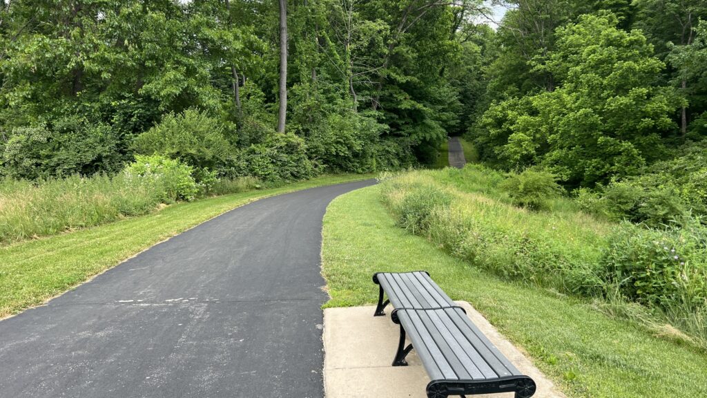
I don’t have a lot to report today. I was mostly on route 322 the whole way, which is a major road with a nice shoulder but not a lot of exciting features. I passed through Phillipsburg and Port Matilda on my way to State College. Once in State College, Google put me on a pretty nice bike path through town to get to the Comfort Suites near Penn State.
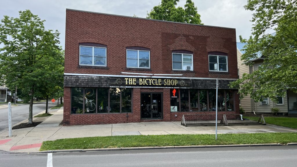
Since I had an early start, I was at the hotel before 11am. We’ve been allowed to check in early at other places, but it would have cost another 1/2 day room charge for the extra 2 hours. So we checked out Penn State’s campus a little bit, had lunch at Jimmy Johns, and visited The Bicycle Shop.

I needed an iPhone holder for my bicycle. I somehow didn’t transfer the route from the Base Camp software to my Garmin Edge, so I used my phone for directions. Since I carried the phone in my jersey back pocket, I was constantly stopping to verify I was on the correct route. I made several wrong turns as I approached State College. At the end, Mike called me up to let me know I was going away from the hotel. Thanks for the rescue Mike, I was a mess.
I know I haven’t mentioned this before — but one of the features of the Garmin devices I use is the “Live Track” feature. I’ve shared that with Mike and my girlfriend Becky so they can keep an eye on me. It’s really cool. When I use the Edge, it shows the route and a blue dot for my location. If I turn it on for my watch, it doesn’t show the route but will show a blue dot for my location (like today.)

I thought I would share a different view of the ride that Garmin provides. It’s pretty easy in this view to see when I’m going uphill and when I’m going downhill. There are so very few “flat” areas on these rides. There was one on my approach to Phillipsburg where you can see the light green color. It’s not very often I see that color.
In summary for the day, I rode 44.28 miles over 3:32 of riding time. The total ascent was 2900 feet and I averaged 12.5 mph. I made it into State College with just a couple of sprinkles at the very end, but dry overall. I wasn’t here 10 minutes and it started to rain and continued all day. Whew!!!
Tomorrow is a big day. I didn’t ride today as far as my original plan required, so I’ll be making up for that. I’ll be riding from State College to New Columbia. On paper — it’s 62 miles. But given my track record for following directions. It will likely be more. Stay tuned!
Directions….hmmmm….stay safe buddy!
So far so good.
Love living vicariously through you… would never attempt your adventure!
I’m glad you are enjoying. I’m having a blast!!!